-40%
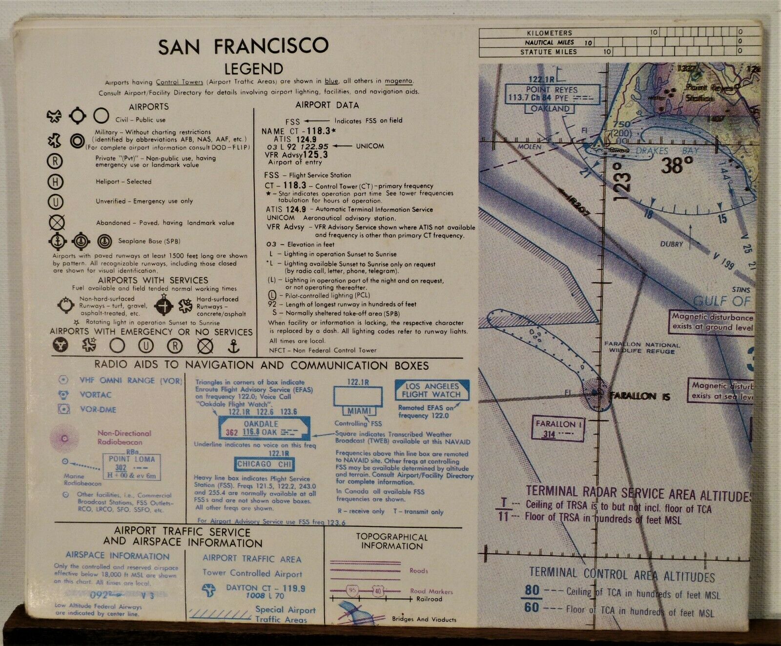
1950's 60's San Francisco California Aeronautical Chart map 27th Edition b
$ 5.27
- Description
- Size Guide
Description
1950's 60's San Francisco California Aeronautical Chart map 27th Edition7.875x6.5 folded, 31x19.25 open, multi-color printed one side
Detailed chart with legend and other detailed information
See my other items at
Petesoldpaper67
Also look for other brochures and maps at
All The Old Roads


